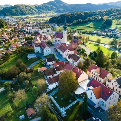
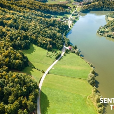
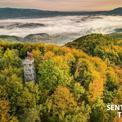
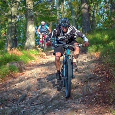
The route is rich with healing or relaxation points that are part of the network of dragon lines that feed the landscape with cosmic energy and intersect at the top of Rifnik and Resevna hills. Points worth seeing: The Rifnik archaeological site, cosmograms in the millstone cave, a beautiful view from the tower on Resevna hill, the well-preserved Ferlež Mill, the hideout of the famous outlaw Guzaj, the enchanting lake Slivniško jezero and the Zgornji trg - the historic centre of Šentjur.
Summary of the cycling route
- Circular cycling route length: 34 km (asphalt and macadam)
- Duration: with stops suitable for a half-day tour, without stops 4 hours
- Difficulty: medium
- Starting point of the route: Zgornji trg in Šentjur (free parking), Šentjur railway station or Ponikva railway station, Dramlje parking at the bus stop (at primary school)
- Total ascent: 1002 m
- Highest point: 445 m
- Lowest point: 249 m
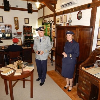
- Tours of the museum collections and the memorial room in Šentjur are possible from Monday to Friday between 9:00 and 16:00, outside working hours by prior arrangement, tours of the Southern Railway Museum are possible by prior arrangement
- There are several market shops, bars, inns and restaurants in Šentjur, at the top of Resevna hill is a Mountain Lodge offering snacks, in Gorica pri Slivnici is a shop, an inn and a cafe, at lake Slivniško jezero is a cafe, in Grobelno are bars
Bilingual map of the route
Description of The path of good energy cycling route
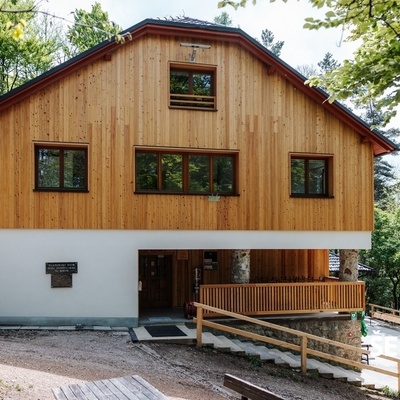
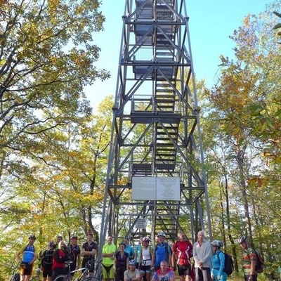
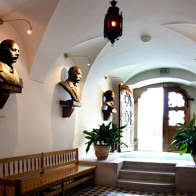
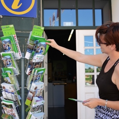
The route is circular. We start the cycling tour in Šentjur at the Šentjur Tourist Information Centre. The left direction of travel is recommended. After encountering the rich history of Šentjur in the Upper Square, we can visit the Rifnik museum collection and its treasures, the New Swing Quartet memorial room and the Ipavčeva hiša museum. Equipped with a set of useful information at the Šentjur Tourist Information Centre, we drive to Hruševec and climb up to Resevna on the asphalt road. We stick to the main road and the signs for Resevna throughout. We reach the meadow below Resevna, where there is a partisan monument. We turn right onto the gravel road and climb all the way to the top, where there is an outlook tower and a mountain lodge with an excellent offer of food and drinks. The views from the tower are beautiful, as in good weather you can see: Bohor, Kalobje, Svetina, Celje, the Kamnik-Savinja Alps, Pohorje, Boč, Donačka Gora, Rifnik, Žusem and other hills of the Posavje Hills. From Resevna, we descend along the same road we came on – past the monument to the turnoff where we previously came from the right, now we continue left. After a short descent, we turn right onto the gravel road and immediately slightly left and descend all the way to the valley, where we turn left and climb a little and connect to the asphalt road towards Vodruž, where we can stop at the Videc milk farm, where they sell homemade goat cheese. After stopping at the farm, we continue driving through Vodruž past horse breeders, through a beautiful valley, to the crossroads, where we turn left for Jakob and at the small church in the settlement of Jakob, we turn right towards Gorica pri Slivnici. The road slightly flattens after a kilometer of ascent, then we turn sharply left and after descending through the forest we reach the main Šentjur–Planina pri Sevnici road, where we turn left again. After a few meters, turn right onto a side road and continue along the plain between pastures, past a chicken farm, and turn left onto the main road to Gorica pri Slivnici, where you can have a good homemade snack or lunch at the Lesjak Inn. After a stop, we drive over a gentle hill to the edge of lake Slivniško jezero, where the Ramna Slivniško jezero café is located with a beautiful view of lake. The route continues along lake Slivniško jezero in the direction of Loka pri Žusmu, and when crossing the stream into Slivniško Lake, we turn left and keep left along the lake all the way to the climb to Tratna pri Grobelno, where after 200 meters of ascent we turn right and after the next 200 meters we turn left. We begin to slowly descend for about 1 km and turn right onto a steeper slope, where we are treated with an excellent view. When descending to Grobelno, we keep to the main road, slightly to the right, to the Grobelno railway station. We cross the railway line and turn towards the railway station and drive through the underpass, cross the bridge and turn left. At the traffic lights we join the cycle path and arrive in Šentjur. At the gas station we drive towards the centre of Šentjur and then to Zgornji trg, where we started the journey.
